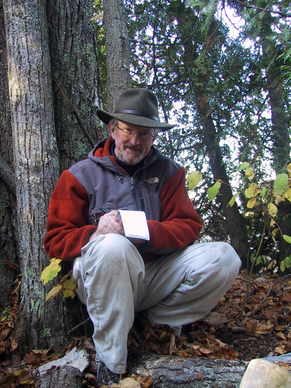
 Maps were printed, caches along the route uploaded into the GPS,and the canoe was loaded when the alarm went off at 3:30 in the ayem. Meanwhile, 1Patriot was just finishing up the graveyard shift in Grand Rapids. I pulled up as he was punching out, and we were soon heading north on 131 towards Mission Point and Power Island!
This was a three hour drive, followed by a 3.2 mile paddle across open water to visit the oldest active cache in Michigan. It felt like a pilgrimage.
It was. I had 194 caches under my belt and wanted this to be 200. So, we logged caches in the pre-dawn hours along the way in Mecosta, Osceola, Wexford and Grand Traverse counties. So, I get to check those counties off on my Michigan County Challenge too.
 The cache is on the NW corner of the island. From the public launch at Bower’s Harbor, it's a straight run SW on a course of 237 degrees true. It was a beautiful, day with light winds, and it took us about an hour to make the transit. The shore next to the cache is very shallow, and we picked our way thru the rocks to a spot within 300’ of the cache.
It was a good 30-40 feet NE of the posted coordinates, and in great shape. 'Twas a treat to read the original log. Dropped my pathtags and a new Migo Fall Geocoin, and headed down the Logging Trail to Power Island Paddler’s Cache.
The wind picked up for the return trip, there were whitecaps on top of rollers, making the the return trip a little longer, and just a little hairier. Course, we just laughed death in the face, and kept stroking … Soon we were quaffing down big juicy burgers at Sledders.
No comments:
Post a Comment
Note: Only a member of this blog may post a comment.